
- By Sangeetha Mahesh
- July 2, 2025
Are you planning to build, buy, or sell land in Karnataka? Confused about where to begin with your land survey process? You’re not alone. Navigating Karnataka’s land records and survey systems can seem complex, but it’s essential to avoid legal disputes, confirm property boundaries, and update government records.
This guide simplifies the entire land survey process—from understanding what a survey involves, to finding your land’s survey number, to applying online or offline—so you can take informed, confident steps to secure your land ownership rights.
What is a Land Survey and Why Is It Important?
A land survey is the process of accurately measuring and mapping the boundaries, dimensions, and ownership details of a land parcel. In Karnataka, especially in rapidly growing urban areas like Bangalore, land surveys are essential to establish legal ownership, support the property registration process, resolve disputes, and ensure that transactions or development occur with the right documentation.
Digitisation through platforms like Bhoomi and Dishaank has made accessing and managing land records in Karnataka easier, ensuring transparency and accessibility for landowners.
Who is a Land Surveyor in Karnataka?
A land surveyor is a trained and licensed professional responsible for:
- Measuring land accurately using GIS or GPS tools.
- Mapping and marking boundaries.
- Recording land dimensions and ownership details.
- Assisting in land-related legal procedures.
In Karnataka, surveyors are appointed either by the government through the Survey Settlement and Land Records (SSLR) department or work independently as licensed professionals. Government surveyors are usually preferred for updating official records, while private licensed surveyors may be used for initial verification or faster reports.
Surveyors play a critical role in:
- Subdividing large plots.
- Rectifying boundary issues.
- Creating revenue maps for the Taluk office.
- Supporting court cases with official measurements.
How to Find the Survey Number of Land in Karnataka
Every land parcel in Karnataka has a unique survey number used to identify it in official records. You can find the survey number in two easy ways:
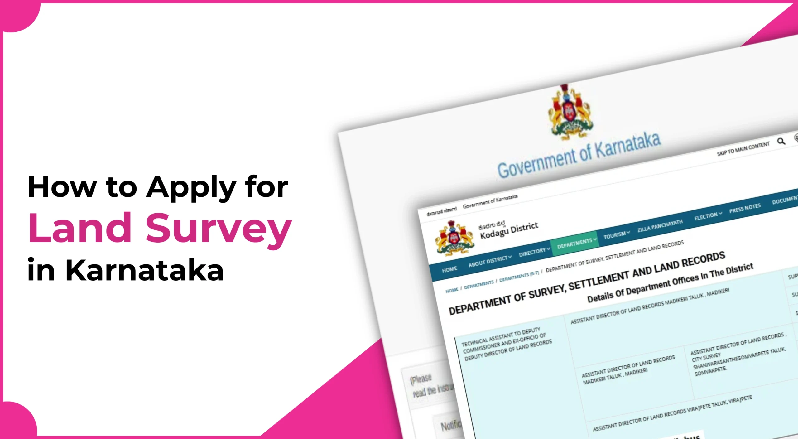
Option 1: Through the Bhoomi Portal
- Go to https://landrecords.karnataka.gov.in
- Click on “View RTC and MR.”
- Select your district, taluk, hobli, and village
- Enter the owner’s name or property details
- The survey number will appear in the search result
Option 2: Through the Dishaank App
- Download the Dishaank app from the Google Play Store
- Use GPS to locate your property on the map
- Tap on the land parcel to view the survey number and land details
Documents Required to Apply for a Land Survey in Karnataka
Before applying, keep the following documents ready:
- RTC (Record of Rights, Tenancy, and Crops)
- Aadhaar card of the landowner
- Khata certificate
- Encumbrance certificate (EC)
- Sale deed or gift deed
- Previous land map or survey sketch
- Mutation Extract (MR)
- Tax paid receipt (latest)
- Form 9 and 11 Extracts
- No Objection Certificate (NOC)
- Succession certificate or Legal heir certificate
- Application form printout (for offline mode)
Eligibility Criteria to Apply for Land Survey in Karnataka
To apply for a land survey in Karnataka, you must:
- Be the rightful landowner or an authorised representative
- Possess valid documents proving ownership
- Have your property registered in the land record system
- Ensure the land is free from legal disputes (recommended)
How to Apply for Land Survey in Karnataka (Offline & Online)
Online Application via Bhoomi Portal:
- Visit https://landrecords.karnataka.gov.in
- Click “Land Survey Services” under “Citizen Services”
- Fill in your details and upload documents
- Pay the application fee online
- Submit and save the acknowledgement number
- Track application status online
- Await surveyor visit and final report
Offline Application via Taluk Office:
- Visit your Taluk or SSLR office
- Request and fill out the survey application form
- Attach required document photocopies
- Pay the application fee by DD, challan, or cash
- Get an acknowledgement receipt
- Surveyor will contact you for inspection
- Survey results updated in records
Land Survey Rules in Karnataka – What You Must Know
- Surveys must be by certified government/approved surveyors
- Boundary changes need government approval
- Do not obstruct survey work
- Do not move official survey stones
- Survey updates are stored digitally
How to Check Land Survey Application Status in Karnataka
- Visit https://landrecords.karnataka.gov.in
- Click on “Check Application Status”
- Enter your Application ID
- Check status: Pending, In Progress, Completed
Can I apply for a land survey without a Khata certificate?
No. A Khata certificate is necessary to verify ownership and categorise your land.
What if I don’t know my survey number?
You can find it via the Bhoomi portal or the Dishaank app using owner or location details.
How much does it cost to get a land survey done in Karnataka?
Fees vary based on land type (agriculture, residential, commercial) and area. Expect between INR 500 to INR 3000.
Who conducts the actual survey after I apply?
A government-appointed or approved private land surveyor under SSLR will conduct the field survey.
How long does it take to complete the survey process?
On average, it takes 15 to 30 working days, depending on your region and application volume.
Is a private land surveyor's report legally valid?
Only if the private surveyor is registered with the government and the report is submitted through the official process.
Sangeetha Mahesh Author
Sangeetha Mahesh is the founder of SriMas Associate, a company that helps people with licenses, insurance, and managing properties. She has studied many subjects like B.Com, MA, and LLB, and has over 15 years of experience in helping businesses and individuals with complicated rules and managing their assets. Sangeetha's work is focused on providing solutions that are good for her clients, and she works hard to give the best service. On her blog, she shares helpful tips and advice about licenses, insurance, and property management, so that her readers can make smart choices.